Colorado Springs (COS) Class C Airspace
near Meadow Lake Airport (00V)

Please note: there are no aids to aircraft navigation on this web page.

It is important for tow pilots and gliders to remain clear of the Colorado Springs Class C airspace unless in radio communications with them. This web page contains information and photos about the boundaries of the COS Class C airspace near the cutout formed for the Meadow Lake airport, 00V. Please see background and photos/images, below.

Please also note the PIF page on this same subject written by John and Lew for the Pilots Information File.

Background

In preparation for a newsletter article, John Scott did some research into the boundary of the Class C airspace during March, 2007. In general, the pictures taken using the Google Satellite overlay (the one with the cumulus clouds) were prepared like this:

The net result is relatively recent overhead photos of the Meadow Lake area (less than 2 years old) and good information on the boundaries of the Class C airspace.

Below in the context of the first image, find information about the negotiation for the position of the cutout and how John determined the ends of the cutout where the 10nm radii continue.

Photos and boundary data

Please examine each of the photos below and the notes written against them. This will help you avoid erroneously entering the Class C airspace adjacent to Meadow Lake's "cutout". We suggest making your browser window as large as possible to best view the images.

Click on image for higher resolution.
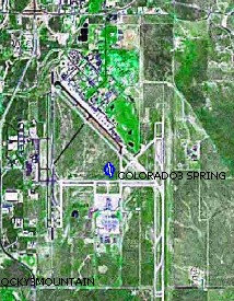
Once upon a time, Lew Neyland negotiated the exact position of the class C cutout with the FAA so that we would have strong visual landmarks. The west boundary is Meridian Road (north-south), and the south boundary is Garrett Road (east-west).

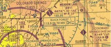
Recently, Lew suggested that John Scott to determine the location of the 10 NM arc from the center of COS. John put the center on the Volkslogger and drove to the appropriate points to determine the data. The NW corner 10 nm distant is at the corner of Meridian Road and Woodmen Hills Road (Judge Orr Road extended). The coordinates are 38.9951N 104.6078W. The SE corner 10 nm distant is not on a road, it's east of the end of Garrett Road at coordinates 38.9109N 104.5363W.

Click on image for higher resolution.
This is the same photo as above, but no magenta lines.
Click on image for higher resolution.
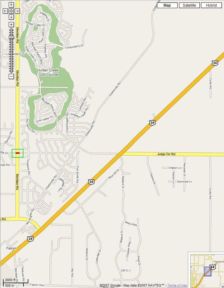
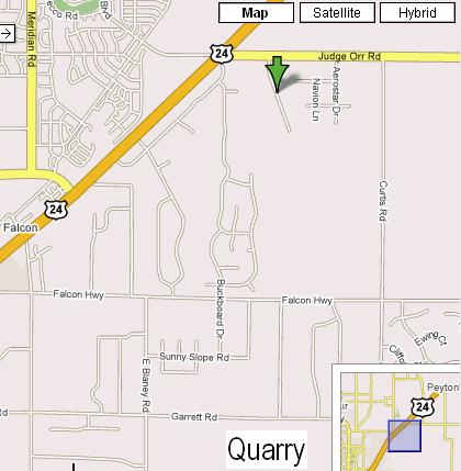
This is the point 10nm distant from the center of COS that is on Meridian Road west of Judge Orr Road at the intersection with Woodmen Hills Road. Rendered on a Google map.
Click on image for higher resolution.
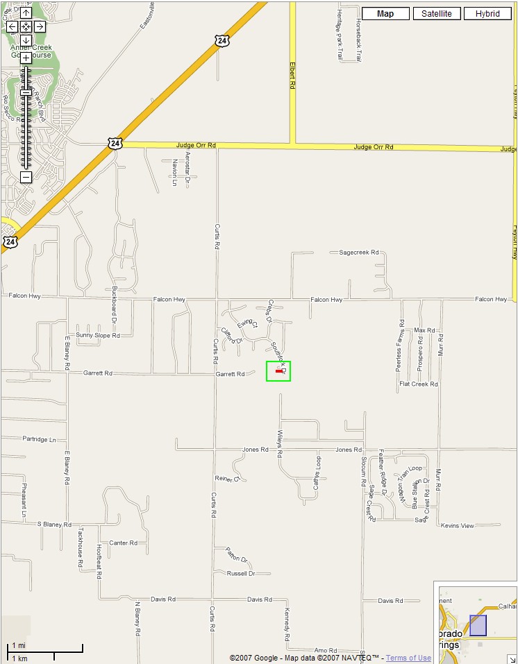
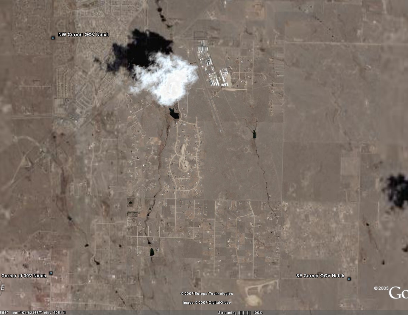
This is the point 10nm distant from the center of COS that is just east of the end of Garrett Road. Rendered on a Google map.
This small image (not clickable) shows the center of Colorado Springs airport (COS) that was used for these calculations.
This is a snippet of Denver Sectional around 00V; click on it to view the sectional interactively with SkyVector. (I've found that SkyVector's software works with recent versions of Internet Explorer, but not with all versions of Mozilla/Firefox.
Snippet of a Google Map of a similar area around 00V; click on it to view the map interactively in Google Maps.